Water Map for the Emirates of Ajman
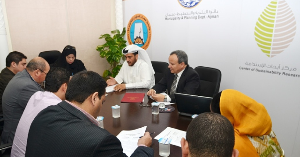
Ajman Municipality launched a unique project “Water Map of Ajman Emirates” which will be jointly executed in collaboration with the Institute of Environment, Water and Energy at the Ajman University of Science & Technology.
This prestigious project will be completed in two phases by 2015 at a cost of Dh1 million. It mainly aims at enhancing the environment and improving the natural resources based on modern and scientific researches. The sustainability of the environment has to be carefully planned ahead of the great economic achievements.
It also banned the digging of wells and usage of water drawn from them for commercial purposes. The decision has been made with the aim of preserving the water sources in the emirate, said Khalid Mueen Al Housani, Director of Public Health and Environment.
With regards to this project Khalid Mueen Al Housani, Director of Public Health and Environment said the hydro-geological map would provide valuable information on water resources for planning and management as well as for education and public information. The map would illustrate the distribution of aquifers, hydraulic heads, groundwater recharge and discharge areas and groundwater flow directions. The map would also reveal the variation in groundwater chemistry, quality and exploitation rates. Additionally, it will include data on topography, geology and prevailing climatic conditions.
The project will cover a total land area of 259 square kilometres and 372,923 residents. The hydro-geological map of Ajman was drawn up by Prof. Dr. Zein Al Rizk, Dean of the Environment, Water, and Energy Institute of the university, who explained that the geomorphology of the emirates of Ajman is mountainous in Masfut, plain in Manama and coastal in Ajman.
The rock lithology varies from Permian to Upper Cretaceous-fractured Hawasina Complex and Semail Ophiolites in Masfut, Quaternary eolian sand in Manama and Quaternary sand dunes in Ajman city. These rocks and sediments form unconfined aquifers, varying in nature, water chemistry and water quality. The groundwater is fresh in Masfut (TDS <1,000 mg/L), fresh to brackish in Manama (TDS 1,000 mg/L to 10,000 mg/L) and brackish to saline in Ajman (TDS 10,000 mg/L to 35,000 mg/L).
The mean annual rainfall varies from 100mm in Ajman, and 120mm in Manama to 160mm in Masfut, while the mean annual potential evapotranspiration changes from 2,390mm in Ajman, to 2,442mm in Manama to 2,441mm in Masfut.
The emirate has three distinct land areas: Ajman metropolitan city overlooking the Arabian Gulf, Manama agricultural area located approximately 60km to the east and Masfut agricultural area lying in the Northern Oman Mountains, which is 110km to the southeast of Ajman city. “The emirate, particularly Ajman city, witnessed remarkable development during the last decade, imposing tremendous stress on water resources.
Proceedings are already underway to curb illegal digging of wells that can also tap into the precious reservoirs. No efforts will be spared in maintaining artesian water and protecting the natural environment in the Emirates of Ajman.